Open for Consultations: Mon - Sat
Zero-Error Digital Land Surveying
Ensure legal compliance and structural precision with our high-end digital mapping and boundary verification services.
Precision is our Foundation
Unmatched Accuracy for Legal & Structural Peace of Mind
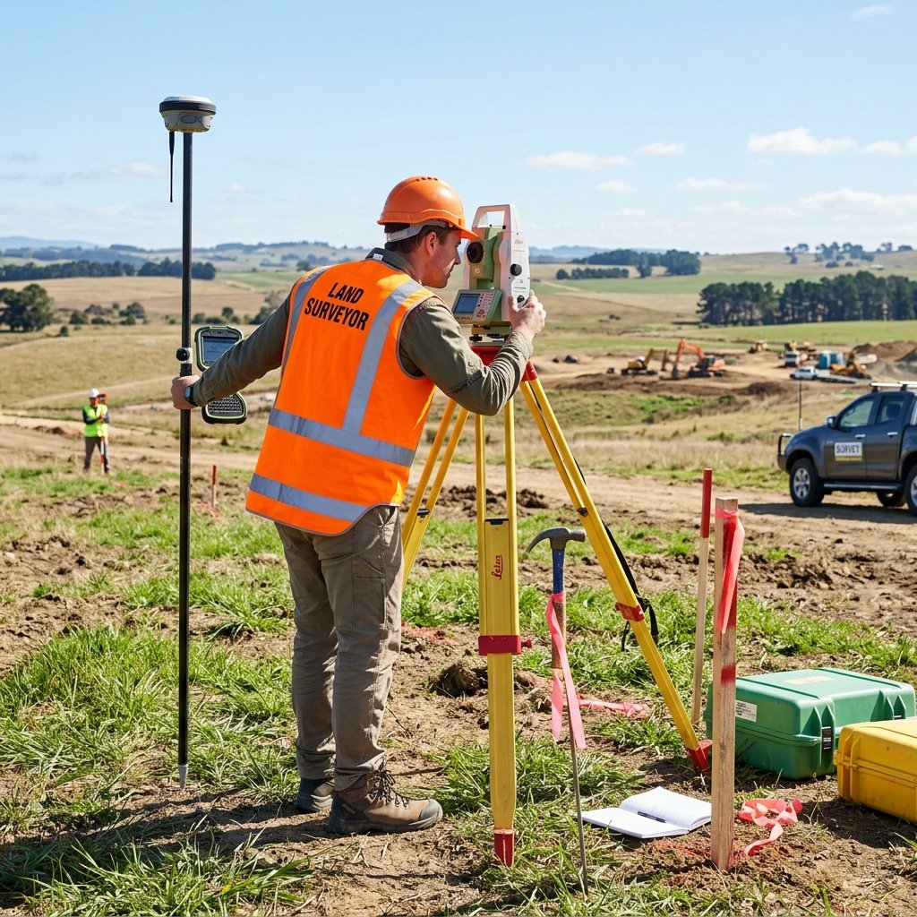
Avoid legal disputes and structural errors. Get 100% precise digital land measurements using the latest DGPS and Total Station technology.
Specialized Survey Solutions
High-precision measurements for buyers, builders, and developers.
Boundary Survey
Legal verification of property lines to prevent encroachment and disputes.
Topographic Survey
Detailed contour mapping of land elevation and natural/man-made features.
Layout Plotting
Precise marking of plots and roads for residential and commercial layouts.
Legal Verification
Technical audit of land records against physical site measurements.
Why Survey Before You Build?
Skipping a professional survey is one of the costliest mistakes a land buyer or builder can make. A digital survey ensures:
Absolute Legal Compliance: Verify the land matches the sale deed perfectly.
Structural Foundation: Ensure the building is placed on the exact center of the stable soil area.
Cost Savings: Accurate volume calculations for earthwork prevent material wastage.
"Measure twice, build once. We provide the precision that saves millions."
Schedule a Digital Survey
Our expert engineering team will visit your site with modern DGPS equipment.